Drone Map Hosting Platform for Construction & AEC Teams
Upload, visualize, and share high-resolution drone maps and orthomosaics with a fast, cloud-based hosting platform.
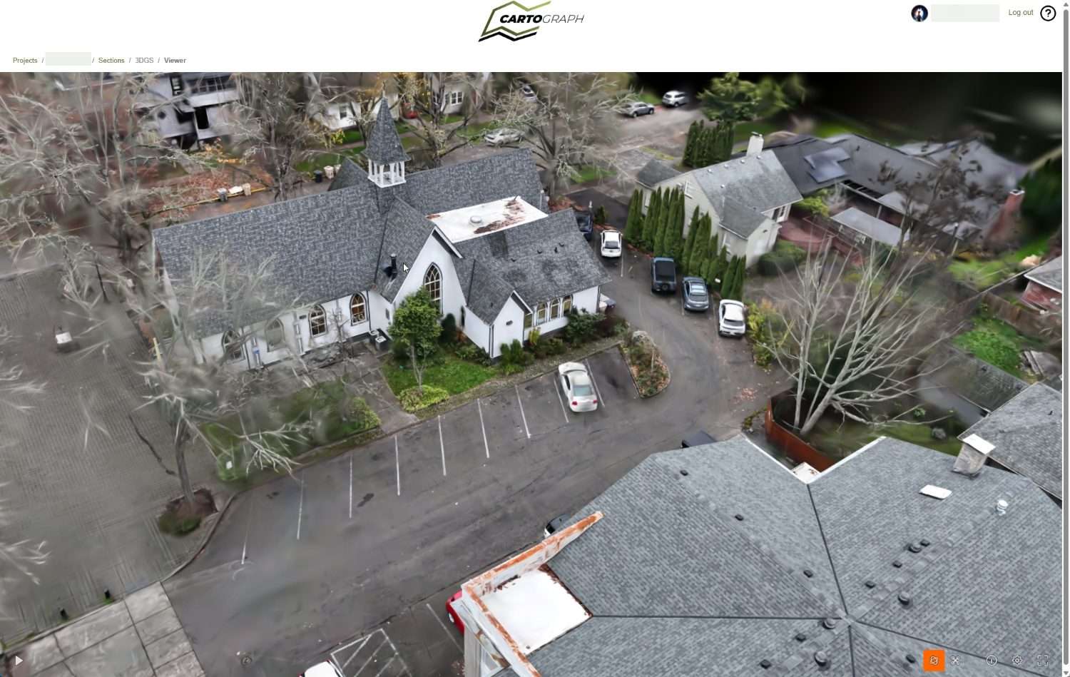
Simplify Drone Map Hosting and Visualization
- Traditional GIS tools are complex and slow
- Large map files are difficult to share
- CARTOgraph makes map hosting fast and accessible
Traditional GIS map-hosting software was built for specialists. CARTOgraph isn't — just upload your processed map and it's ready to use and share in minutes.
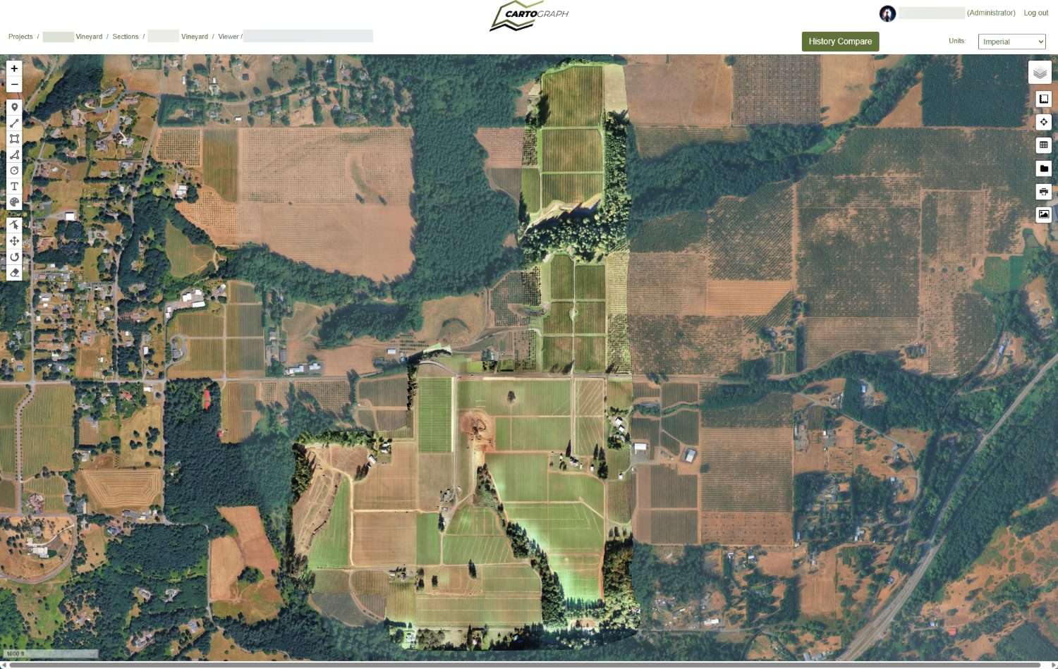
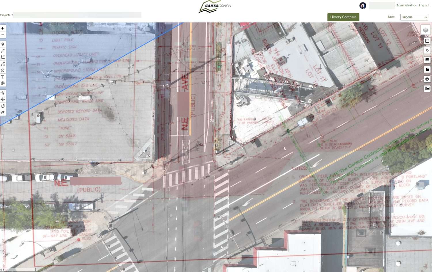
What Is CARTOgraph?
- Platform to upload and view orthomosaic maps
- Converts large files into interactive visual maps
- Enables easy sharing across teams
CARTOgraph is a cloud-based drone map hosting platform. Upload your processed orthomosaic or aerial map, and it converts into an interactive, shareable visual your whole team can access from anywhere.
Powerful Features for Drone Mapping & GIS Workflows
Upload GeoTIFF, TIF, JPG, and other large-scale map files without worrying about size limits. Maps render fast at every zoom level, and built-in measurement tools let you calculate distances and areas directly on the map.
- Upload GeoTIFF, TIF, JPG and large map files
- Fast rendering at all zoom levels
- Distance and area measurement tools
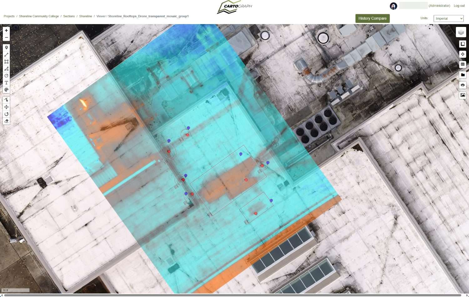
- Transparent overlay for phase comparison
- Secure cloud storage and hosting
- Share maps with your team instantly
Use Cases for Drone Map Hosting
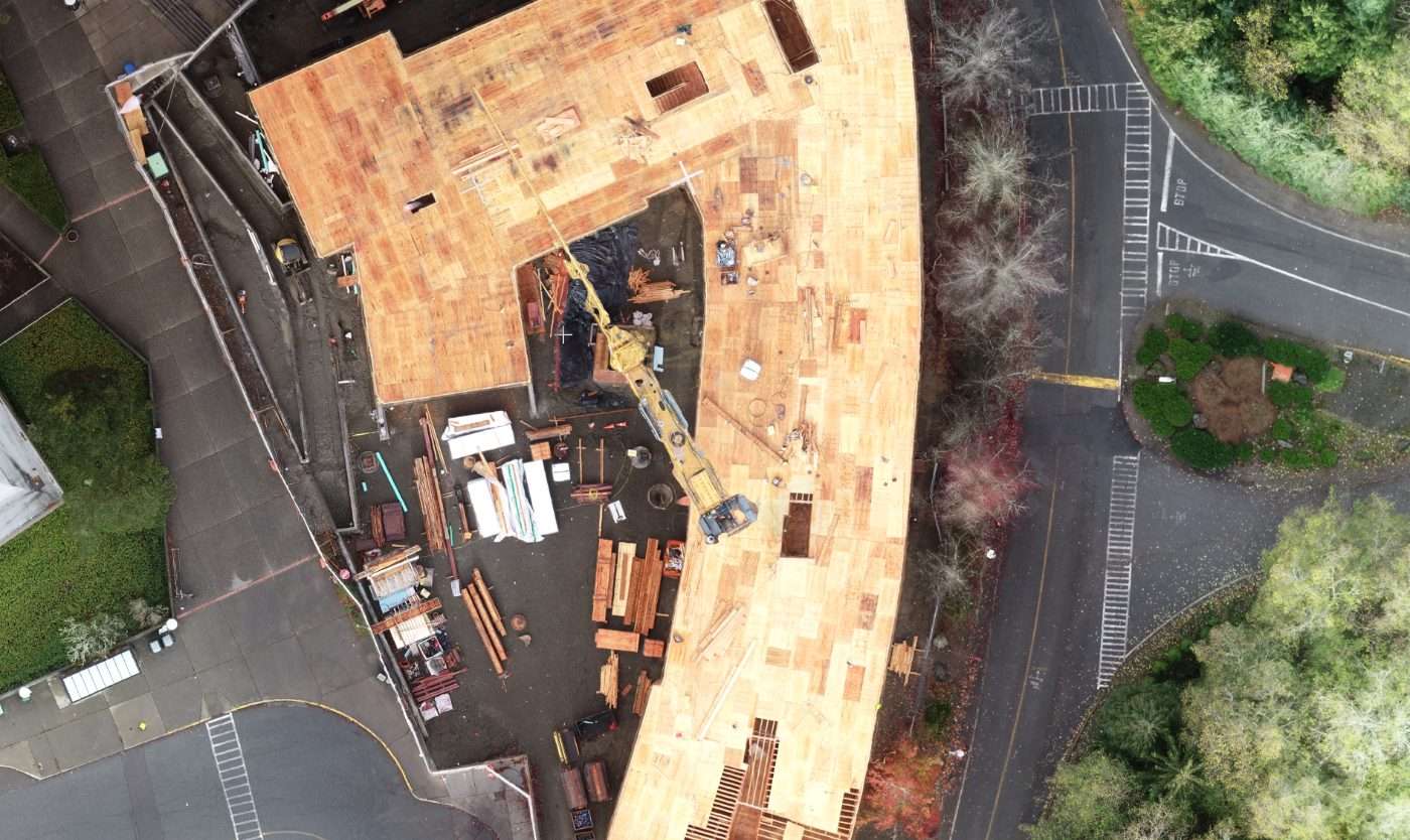
Construction Site Monitoring
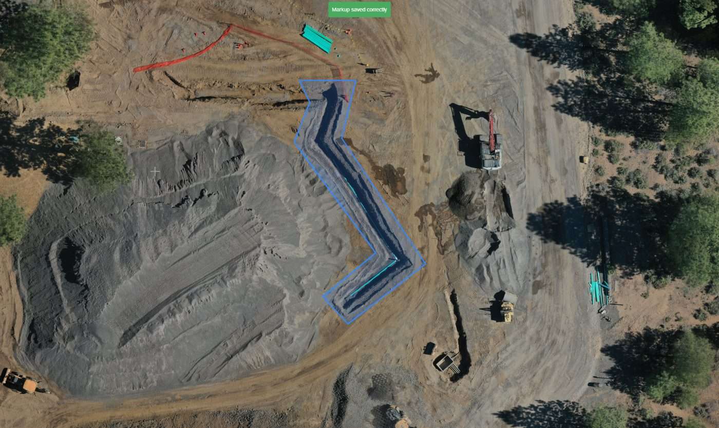
Track large-scale site development over time by mapping the same project multiple times. Progress is easy to see when you can compare maps side by side.
Surveying & Mapping
Store and analyze drone survey data in one place. Better data going in means better planning decisions coming out.

Infrastructure Projects
Monitor pipelines, roads, and utilities with aerial precision. When you know exactly where everything is, the job gets a lot safer and simpler.
Works Seamlessly with RESolute
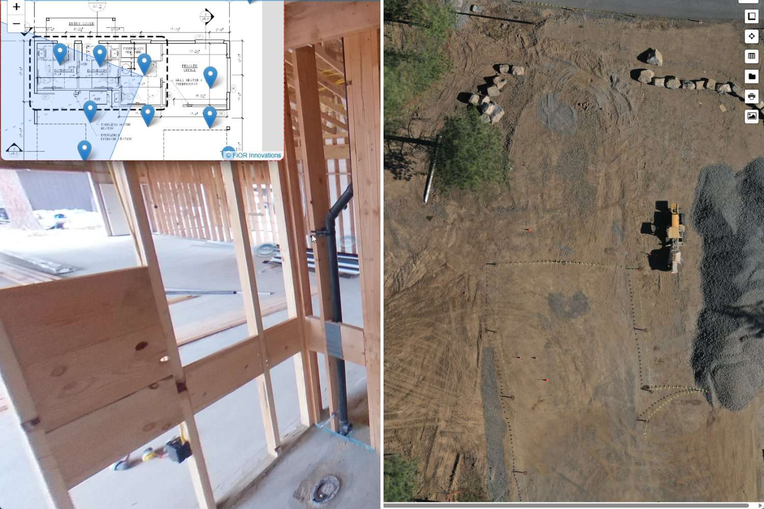
CARTOgraph pairs with RESolute to give you both aerial and ground-level views of your project in one place. Drone maps from above plus progress photos from inside equal a complete picture of what's happening on site.
- Combine aerial and ground-level data
- Full project visualization in one platform
- Better decision-making with complete context
Built for AEC, Surveying & GIS Professionals
CARTOgraph supports construction and real estate development, surveying and geospatial teams, and infrastructure and engineering firms. Whether you're mapping a single site or managing multiple projects, aerial map hosting gives your team better data to work with at every stage.
Construction & Real Estate Development
Track site progress, monitor phased builds, and share aerial documentation with owners and investors.
Surveying & Geospatial Teams
Store, host, and share survey-grade orthomosaics with clients and collaborators without the GIS overhead.
Infrastructure & Engineering Firms
Visualize pipelines, roads, and utilities from above. Bring aerial precision to complex infrastructure projects.
Why Choose CARTOgraph by FiOR Innovations
- Works with any drone or aerial data source
- No heavy GIS software required
- Faster and simpler than traditional tools
No heavy GIS software required, no specialized hardware, and no limits on file size or source. If your drone can capture it and a third-party tool can process it, CARTOgraph can host it.
Start Hosting Your Drone Maps Today
Ready to see your maps in a new way? Schedule a demo and we'll show you how drone mapping software for construction teams can work on your next project.
14-day free trial · No credit card required · Cancel anytime

Get In Touch With Our Team
Have questions about CARTOgraph or want to see it in action on your project? Fill out the form and someone from our team will reach out shortly.
Bend, Oregon 97703