Construction Progress Monitoring Software for Project Owners
Get eyes on site without leaving your desk. Track construction progress, view real-time photo updates, and make informed decisions with powerful visualization tools.

Gain Full Visibility Into Your Construction Projects
- Project owners often lack real-time updates
- Delays and miscommunication increase risks
- FiOR provides clear, visual progress tracking
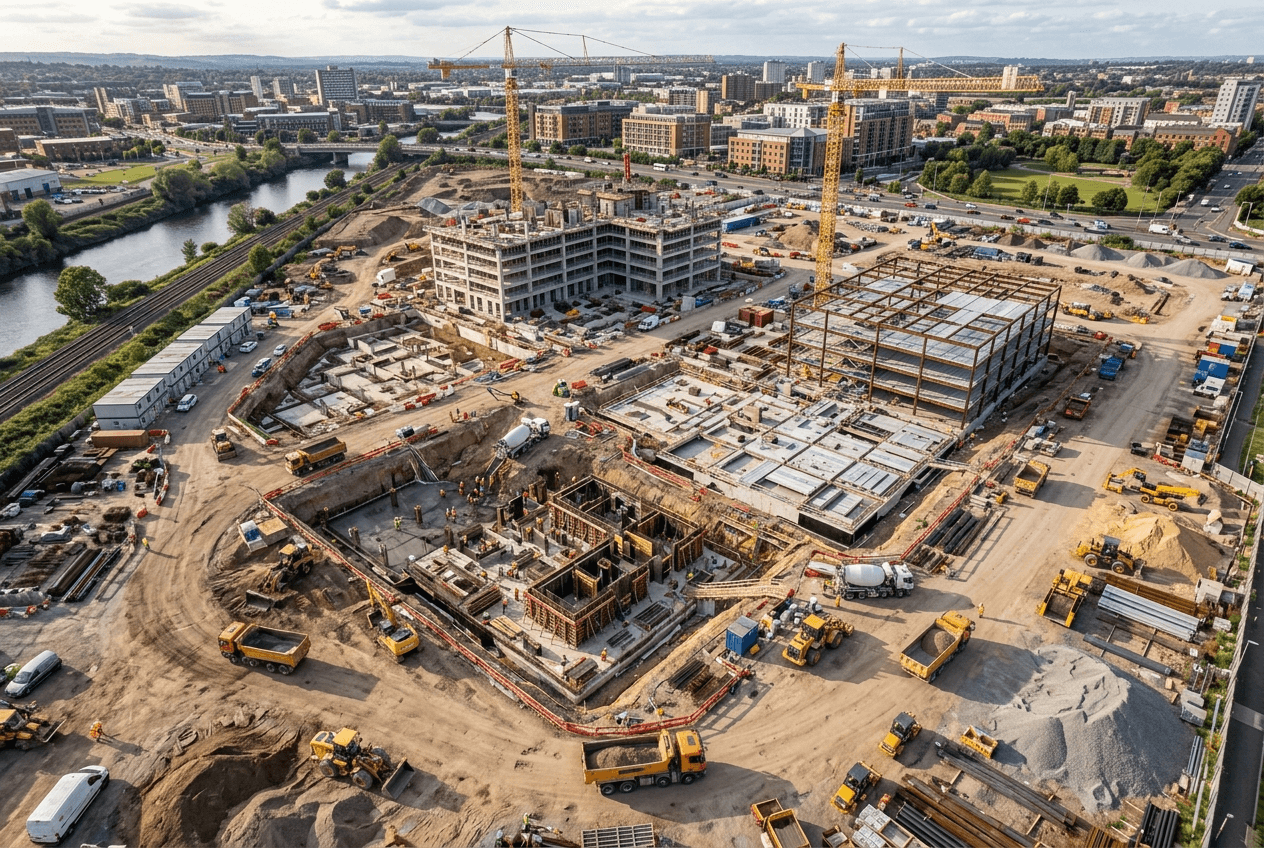
Most project owners find out about problems the same way: someone calls them. But by then, the delay is already happening. Construction progress monitoring gives you eyes on every job so you can get your updates without needing to be there.
How FiOR Innovations Solves These Challenges
- Centralized platform for project updates
- High-resolution photo documentation
- Real-time access to site data
One platform holds every progress photo, update, and site record so you can check in from anywhere without waiting on a call. The photos are full resolution, meaning you can actually see what's happening rather than squinting at a blurry thumbnail.
Benefits for Project Owners
When you can see the site clearly, decisions come faster. Less time chasing updates means more time available to act on them. And when your stakeholders want proof of progress, you have it.
- Make faster, data-driven decisions
- Reduce project delays and risks
- Improve transparency with stakeholders
- Access full-resolution photos from any device
- Monitor multiple projects from one platform
- No site visit required to stay informed
Two Tools. Total Site Visibility.
RESolute and CARTOgraph work together to give project owners complete visual command of every project.

FiOR RESolute
FiOR RESolute creates a virtual tour of your project and hosts it through your web browser. View high-resolution 360° photos from any camera, linked directly to floor plans — so you always know exactly where each image was taken and what it shows.
- View photos linked to floor plan locations
- Full-resolution, no quality loss
- Access from any device, anywhere
- Multi-user access for owners and stakeholders
- Offline Viewer for project handoff
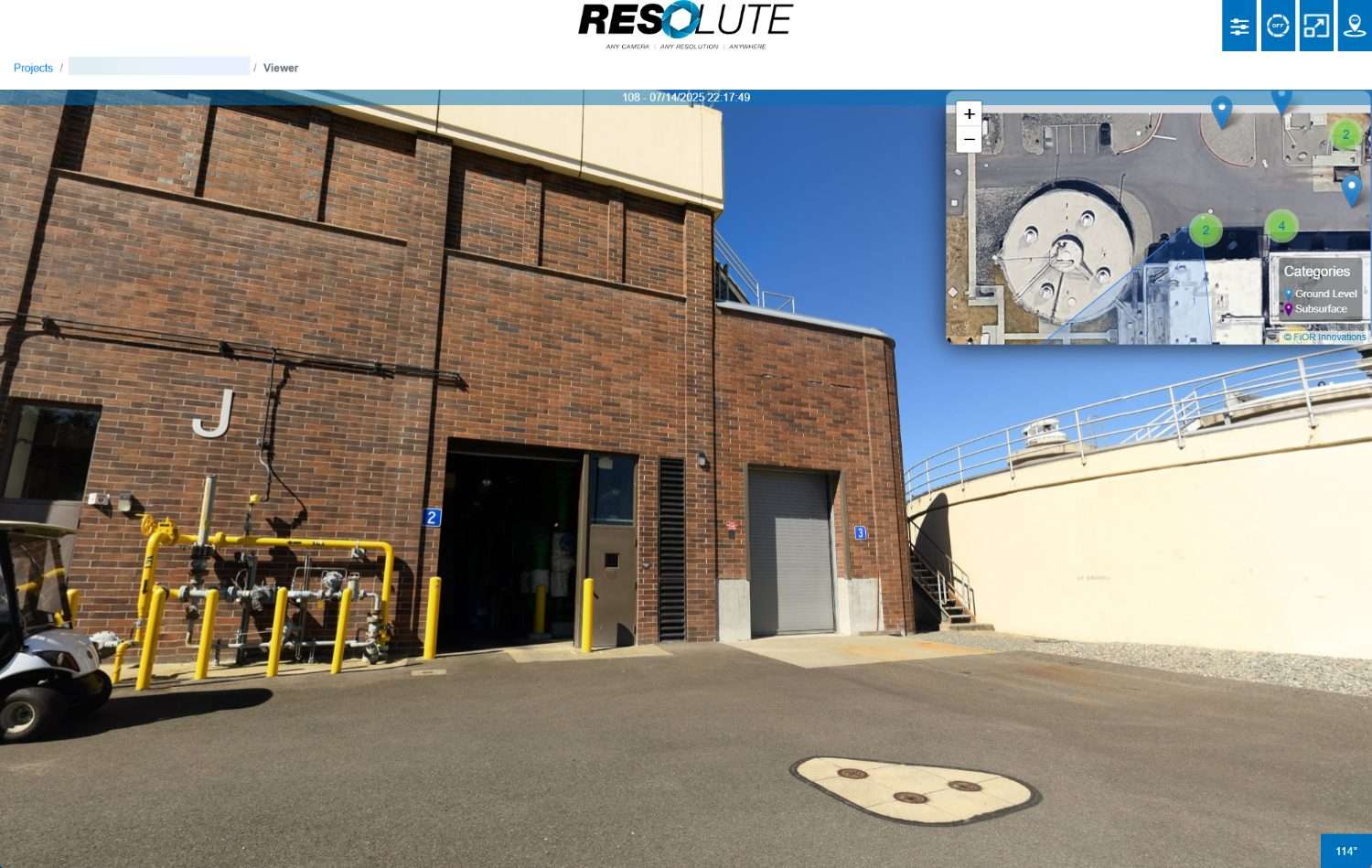 Resolute — 360° Photo Viewer
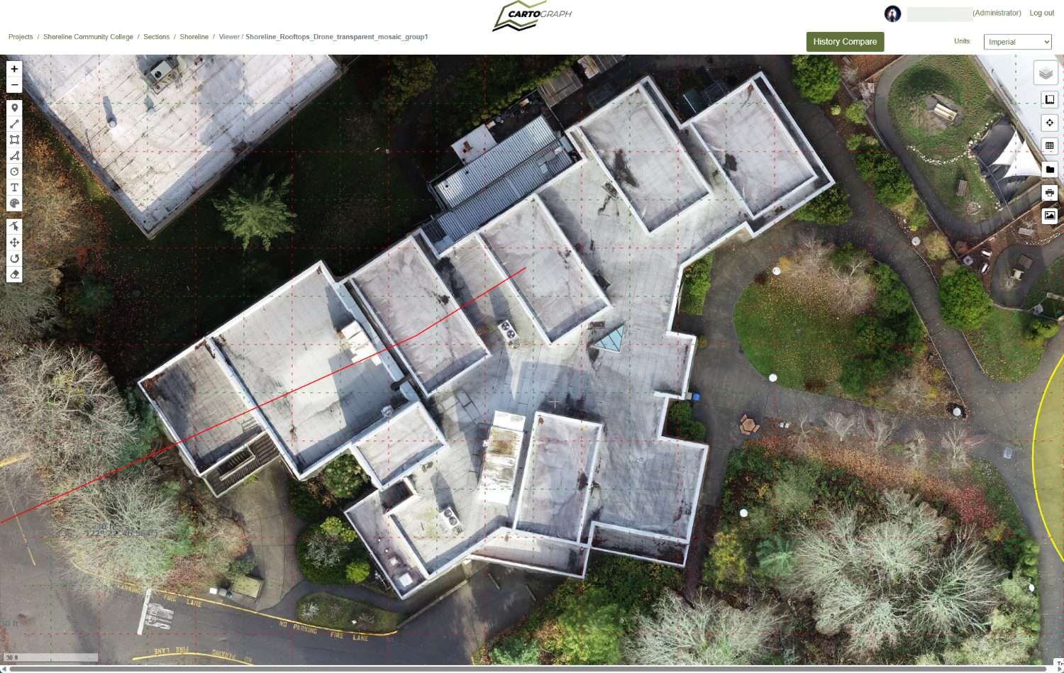 Cartograph — Drone Map Viewer

FiOR CARTOgraph
FiOR CARTOgraph processes drone map images into orthomosaic maps you can measure, overlay with CAD drawings, and compare across project phases. Get a bird's-eye view of progress that's accurate enough to make real decisions from.
- Upload any orthomosaic or drone map
- Overlay and compare project phases
- Measurement tools for accurate review
- Markup and annotation in-browser
- Ground control point accuracy
- Fast cloud processing
Use Cases for Construction Progress Monitoring

Real-Time Project Updates
Check in on any project, whenever you're curious, without asking anyone. The photos are there, at full resolution, ready when you are.

Investor & Stakeholder Reporting
Build more investor trust with your reporting. Share high-resolution photo updates instead of assurances.

Budget & Timeline Oversight
Catch delays early, when you can still do something about them. Keeping a project on track is better than getting it back on track.
Why Project Owners Choose FiOR Innovations
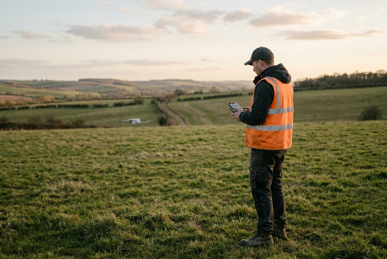
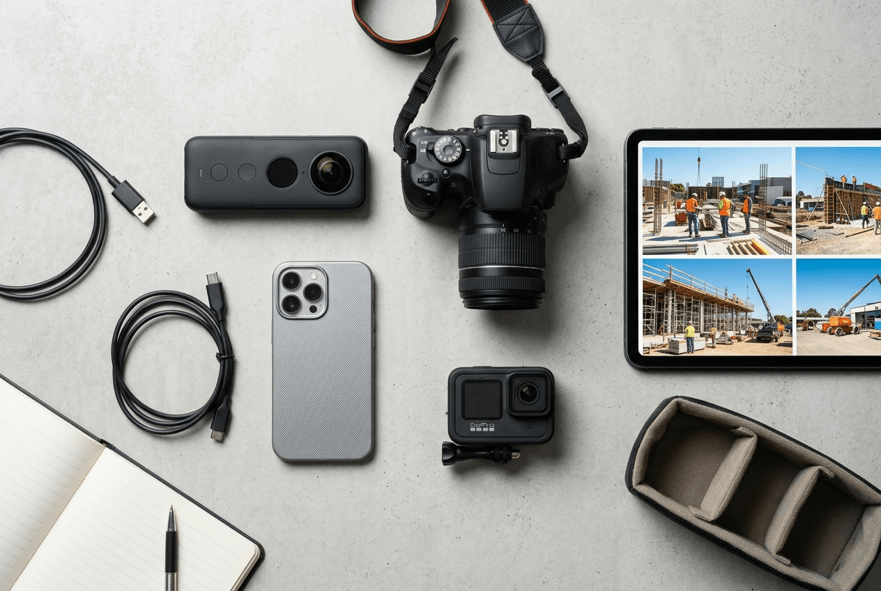
These tools work with whatever your team already has in the field: any camera including 360 models, any drone, any filetype. No new hardware, no learning curve for your crew, and no compressed, inscrutable photos.
- Works with any camera or drone
- High-resolution, accurate data
- Simple and easy-to-use platform
Trusted by Teams in the Field
"On the exterior we had a problem. I wasn't on site and I needed to find out where something was located. I was able to just pop up that view and point right to where I took that picture. It took me less than a minute. That's the purpose of it — it's saving me time and money."
"FiOR RESolute has been instrumental in tackling the challenges presented by virtual punch. The clarity of the images gives our owner, architects, and engineers a high level of confidence in the work. The photos are easy to access and navigate — it's a tremendous value add to our project."
"It has been a seamless working relationship with crystal clear communication about technical issues that are both complex and radically new. I would recommend FiOR Innovations to anyone looking for a professional, expert team."
Take Control of Your Construction Projects Today
You don't need to be on site to know what's happening anymore. Schedule a demo to see how much easier your job can get.
14-day free trial · No credit card required · Cancel anytime
Discover the RESolute Capture App
Automate image collection in the field. The RESolute Capture App works with 360 panoramic cameras and syncs directly to your project.


Get In Touch With Our Team
Do you have questions about how FiOR can help you stay on top of your projects? Fill out the form and someone from our team will reach out shortly.
Bend, Oregon 97703