Construction Progress Photos & Job Site Documentation Software
Capture, organize, and track construction progress photos in high resolution with powerful digital tools built for contractors.
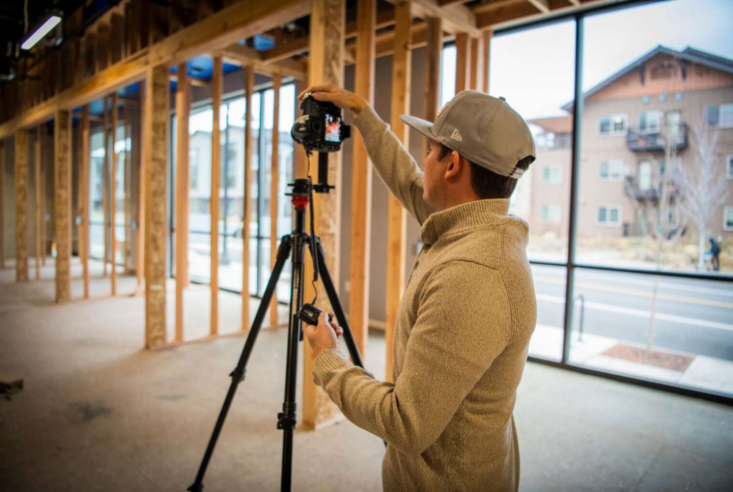
Better Construction Progress Tracking Starts With Better Photos
- Poor photo documentation leads to delays and disputes
- High-quality visuals improve decision-making
- Centralized photo management saves time
When your jobsite photos are pixelated, you might as well not have any. And when you can't even find the image you need, small disputes become actual delays. But when your photos are stored at full resolution and linked to exact spots in your floor plan, you can move forward without even a pause.
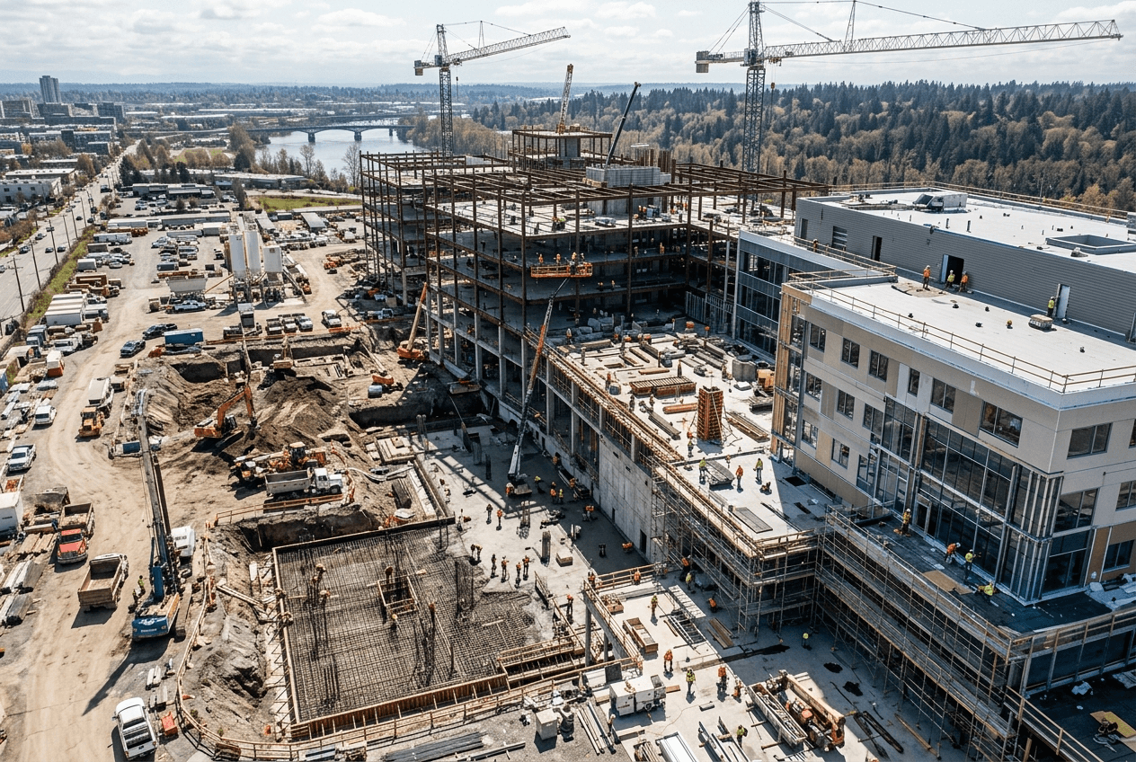
Powerful Construction Photo Documentation Features
Just upload your full-resolution images from any device, without losing quality. Organize them by location, date, or project phase. All jobsite photo management happens securely in the cloud and is accessible to your team from anywhere.
- Upload high-resolution images from any device
- Organize photos by location, date, or project phase
- Secure cloud storage with easy access
- Link images directly to floor plan locations
- Share with owners, architects, and engineers instantly
- Works with any camera or image format
- Unlimited Users & Unlimited Projects per company
Two Tools. Total Site Visibility.
RESolute and CARTOgraph work together to give contractors complete visual command of every project.

FiOR RESolute
FiOR RESolute creates a virtual tour of your project and hosts it through your web browser. Take photos from handheld cameras — including 360 panoramic cameras — and link them directly to your floor plans. The iOS Capture App automates image collection in the field, and an offline viewer lets you hand off the project to the maintenance team when work is complete.
- Link photos to floor plans with Layout View
- Works with any camera at any resolution
- iOS Capture App for automated field collection
- Offline Viewer for maintenance team handoff
- Multi-user access for owners, architects, and engineers
- Unlimited users & unlimited projects per company
- Procore integration available
- Autodesk Forma integration available
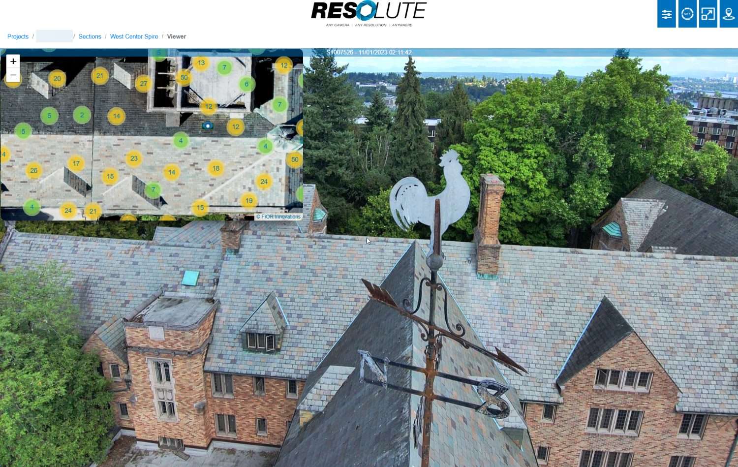 FiOR Resolute - Construction Site Monitoring
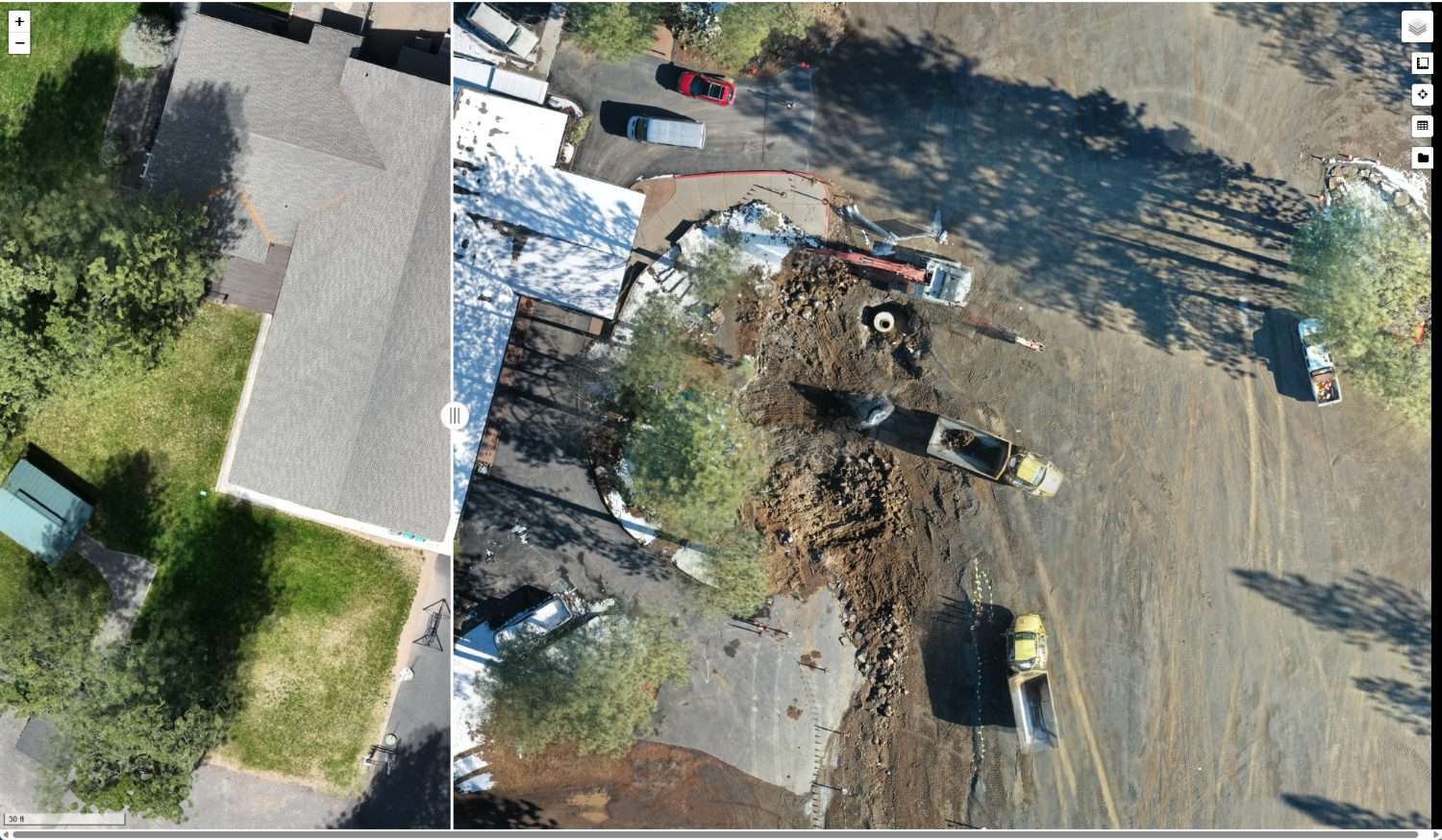 Cartograph — Drone Map Viewer

FiOR CARTOgraph
FiOR CARTOgraph processes drone map images into an orthomosaic you can measure and overlay with CAD drawings. The software understands project coordinate systems including State Plane, and is most powerful when mapping a project across multiple phases with ground control points.
- Upload any orthomosaic or third-party drone map
- Overlay and compare project phases transparently
- CAD drawing overlay support
- State Plane coordinate system support
- Ground control point accuracy
- Measurement tool for distance calculations
Use Cases for Construction Progress Photos
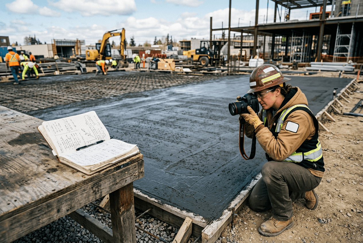
Daily Site Documentation
Write better reports, backed by full-resolution photos that were a cinch to find.

Client & Stakeholder Updates
Earn more trust from your stakeholders, earlier in the work. Share proof of progress in a snap and cut down on the back-and-forth.

Dispute Resolution
Maintain a complete photo record of every job so you always have proof when you need to settle a dispute.
What Makes FiOR Innovations Different
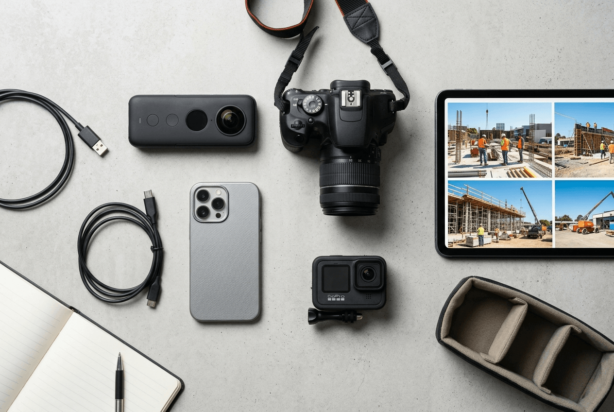
Take your construction progress photos using any digital camera. Then upload them, using any filetype. Finally, access them quickly, using any device.
- Works with any camera or image format
- No loss of image quality
- Built specifically for construction workflows
Trusted by Teams in the Field
"On the exterior we had a problem. I wasn't on site and I needed to find out where something was located. I was able to just pop up that view and point right to where I took that picture. It took me less than a minute. That's the purpose of it — it's saving me time and money."
"FiOR RESolute has been instrumental in tackling the challenges presented by virtual punch. The clarity of the images gives our owner, architects, and engineers a high level of confidence in the work. The photos are easy to access and navigate — it's a tremendous value add to our project."
"It has been a seamless working relationship with crystal clear communication about technical issues that are both complex and radically new. I would recommend FiOR Innovations to anyone looking for a professional, expert team."
Start Capturing Better Construction Progress Photos Today
A simple, centralized way to manage high-resolution progress photos without changing how you work. Want to see it in action?
14-day free trial · No credit card required · Cancel anytime
Discover the RESolute Capture App
Automate image collection in the field. The RESolute Capture App works with 360 panoramic cameras and syncs directly to your project.


Get In Touch With Our Team
Do you have questions about how FiOR can help you document and protect your project? Fill out the form and someone from our team will reach out shortly.
Bend, Oregon 97703